
Doral ZIP Code Coverage
An official Miami-Dade planning guide identifies six ZIP codes serving Doral. The broad city frame runs from NW 90th Street on the north to SR 836 on the south, and from SR 826 on the east to Florida's Turnpike on the west. Those lines help orient a search, but postal areas do not stop at the city boundary. The neighborhood labels below are based on official geocoded city facilities and should not be read as formal USPS neighborhood definitions.
| ZIP Code | Areas Covered | Post Office | Notes |
|---|---|---|---|
| 33122 | Southeastern Doral, airport-industrial area, CityPlace/Downtown vicinity | Verify each address with USPS | Shared postal geography; city examples on NW 82 Avenue |
| 33126 | Far southeast and south-central commercial strip | Verify each address with USPS | Much of the ZIP extends beyond Doral |
| 33166 | Eastern and northeastern-central Doral, Government Center/Downtown | Verify each address with USPS | Government Center and Doral Branch use this ZIP; shared beyond city |
| 33172 | Southern and west-central Doral, Central Park and International Mall vicinity | Doral Post Office, 1700 NW 97 Avenue | Retail service and PO boxes at the local station |
| 33178 | Northern and western residential and institutional Doral | Verify each address with USPS | Official facilities on NW 58 Street use it; shared geography |
| 33182 | Extreme western fringe and shared area | Verify each address with USPS | Confirm city status parcel by parcel |
No official source found a Doral-only unique ZIP or a post-office station mapped to every code. Do not infer either. County GIS metadata does record boundary corrections along NW 36th Street among 33122, 33166, and 33172, and another correction between 33178 and 33166 near West Okeechobee Road. The accessible metadata gives no date, so it supports the fact of correction but not a claimed realignment year.
Doral ZIP 33166 and 33172
ZIP 33166 provides an eastern and northeastern-central reference point. Doral Government Center at 8401 NW 53rd Terrace and the Doral Branch Library both use it, yet the postal geography continues beyond the city. ZIP 33172 covers much of southern and west-central Doral, including the Doral Central Park and International Mall vicinity. The distinction can narrow a result list, but only the municipality and parcel layers show whether a specific address is within Doral.
The Doral Post Office is at 1700 NW 97th Avenue, 33172-9998. Research records list retail hours Monday through Friday, 8:30 a.m. to 5:30 p.m., with PO boxes available around the clock and phone 305-418-2053. Verify current service details before visiting. A station location does not mean every address in the other five ZIPs has a separate named Doral station.
Doral ZIP Fringes Need Checks
The four remaining codes show why a postal label is only a first cut. ZIP 33122 reaches southeastern Doral and the airport-industrial side. ZIP 33126 touches the far southeast and south-central commercial strip, while much of that postal area lies beyond the city. ZIP 33178 spans northern and western Doral but is shared. ZIP 33182 appears in the county guide for the extreme western fringe, where parcel-by-parcel city verification is especially important.
This shared geography is a useful local quirk, not an error. Mail routes are built for delivery. Municipal boundaries are built for government jurisdiction. If a search result says “Doral” in the postal city field, check the municipality in MARS and the parcel map before tying it to city permits, code files, or Doral public records.
Note: The six Doral ZIP areas are search zones, not six complete or exclusive lists of city residents.
Search Doral Residents by ZIP
No official portal offers a public button that returns every Doral resident in one ZIP code. MARS accepts a ZIP as an optional address filter. The Property Appraiser accepts an owner, address, subdivision, or folio, then shows postal and parcel context. The personalized voter tool is for a voter to retrieve a record after supplying identity fields, not for browsing a postal area. Election data products may be ordered by geography under Florida law and subject to a quote.
- Verify the complete deliverable address with the USPS ZIP Code Lookup.
- Enter the house number, NW direction, street number or name, type, ZIP, and Doral municipality in MARS.
- Follow the result to the Property Search map and record the folio, situs address, mailing address, and city context.
- Use a lawful Elections Department data request if aggregate or public registration data is needed by geography.
- Once the area narrows to an address, continue with the Doral street directory workflow.
City permits and code files work best with a property address or folio. Recorder searches work best with a party name, CFN, book and page, or legal description. A ZIP-wide search therefore narrows the map but does not replace the stronger keys used by each custodian.
Doral ZIP Fields in MARS
Miami-Dade's MARS/GeoAddress system is the county's central address repository. Its target is 99 percent, plus or minus one percent, of valid addresses, ranges, and intersections. Parsed search is helpful when a Doral address contains several numbered parts. Keep NW and the street type separate, then use ZIP and municipality to narrow or validate the match.
| Field | Type | Required | Doral use |
|---|---|---|---|
| House Number | Text | Yes | Numeric street number |
| Pre-Direction | Dropdown | If present | Select NW for most Doral grid addresses |
| Street Name | Text | Yes | Number or name without direction or type |
| Street Type | Dropdown/text | If present | AVE, ST, TER, RD, and similar forms |
| ZIP Code | Text | Optional | Narrows or checks postal geography |
| Municipality | Dropdown | Optional | Select Doral when testing city status |
| Search Mode | Tabs or radio | Yes | Full Address or Parsed Address |
A result can include a standardized address, ZIP+4, municipality, folio, and map coordinates, with links to eMaps and Property Search. The ZIP field helps validation; it is not a bulk residents-directory filter.
Verify Doral ZIP Codes First
A copied address may contain an old postal city, a missing direction, or the wrong code. Start with USPS when the question is mail delivery. The successful manifest capture comes from the official USPS ZIP lookup.
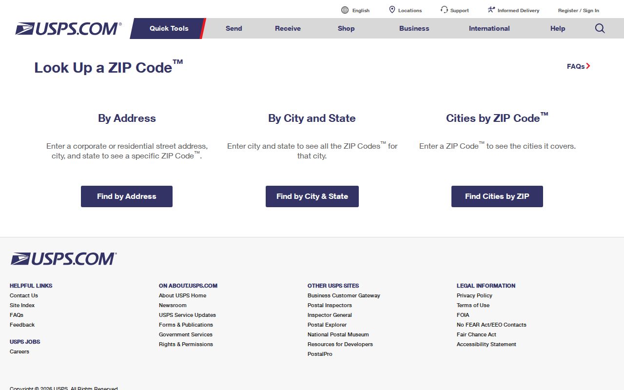
The form confirms postal formatting, then MARS and Property Search answer different questions about county standardization and city jurisdiction. Keeping those roles separate prevents a shared Doral mailing label from being mistaken for proof that the parcel is within Doral.
Doral ZIP to Folio
The 13-digit Miami-Dade folio is a stronger bridge across systems than a ZIP code. Its first two digits identify the municipality. The next four encode township, range, and section; the next three identify acreage, unsubdivided property, or subdivision; and the last four identify the parcel within the section. Record the folio from the Property Appraiser result before moving to a city permit request, lien check, GIS map, or deed search.
Three address concepts may appear beside it. The situs address is the standardized physical location on the tax or GIS record. The mailing address is where the owner receives notices and may be outside Doral. The legal description identifies the land by subdivision, lot, block, plat book and page, or metes and bounds. None of those fields proves that every owner or named party lives at the parcel.
Doral ZIP Voter Geography
Florida treats parts of voter-registration information as public, while protected-address exemptions remain in force. Miami-Dade's personalized Voter Information tool can show a voter's address, party, precinct and polling place, districts, sample ballot, and recent activity after the required identity fields are supplied. It does not open a ZIP-wide list for casual browsing.
The Elections Department publishes data-request guidance for extracts and statistical products. Requests may be quoted and organized geographically, subject to Florida Statutes sections 97.0585, 98.095, and protected-address rules in section 119.071. The successful Florida voter registration geography report capture shows the state reporting route.
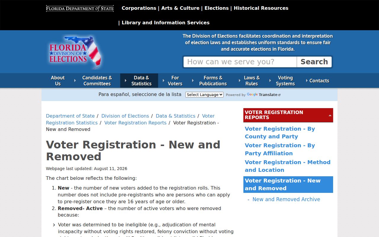
These reports provide election geography and maintenance context, not a complete directory of everyone in a Doral postal zone. Protected people and nonvoters will not form part of that trail.
The state also publishes guidance on which voter fields are public records and which protected-address exceptions apply.
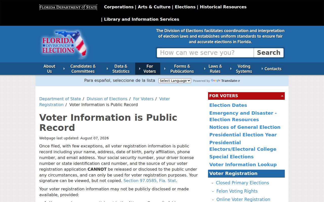
Read that guidance before requesting a geographic extract, since a ZIP filter does not override statutory confidentiality or turn voter data into a full household list.
Doral ZIP Codes vs City
A Doral ZIP code is a mail-delivery construct. The city limit determines municipal jurisdiction. An address can use “Doral” while lying in another municipality or unincorporated Miami-Dade, and a parcel inside Doral can use a different preferred postal city. Verify in order: USPS for deliverability, MARS for the standardized address and municipality, Property Appraiser/GIS for the folio and boundary, then a deed or plat for legal identity.
- ZIP code
- A five-digit USPS delivery area that may cross local government lines.
- ZIP+4
- The five-digit code plus four digits that narrow delivery to a smaller segment or destination.
- PO-box ZIP
- A code used for post-office-box delivery. Research found no verified Doral-only example.
- Unique ZIP
- A code assigned to one high-volume organization. No official Doral-only unique code was found.
- Carrier route
- A delivery path within a ZIP. It is not the same as a neighborhood or city district.
Use Doral ZIP data only for lawful personal research. Do not treat a postal match as permission to contact, track, or harass anyone.
That mismatch is the central limit of any Doral ZIP code directory. Postal data narrows a search well, but county and city records must establish the government boundary and the record keeper.